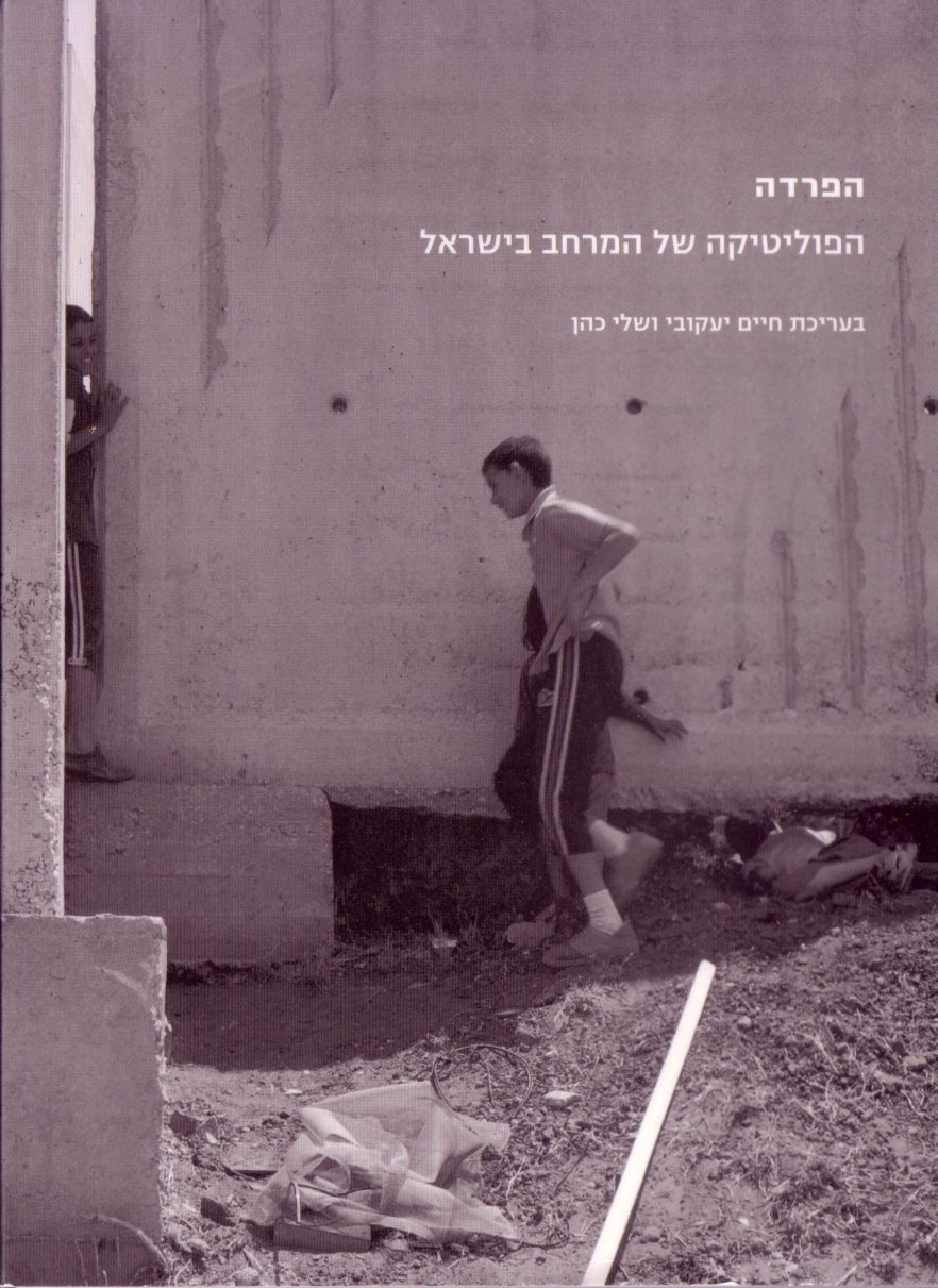
A collection of essays and photographs throwing a critical light at the growing ethnic, national and class separation in Israel, as well as at its physical expressions.
Israeli territory is characterized by ethnic, national, and class divisions. Spatial demarcation distinguishes between Jews and Arabs, Mizrahi Jews who migrated from Middle Eastern countries and Ashkenazi Jews who migrated from Europe, between rich and poor, thus giving rise to different types of social power relations. The population in the outlying immigrant development towns consists mainly of Mizrahi Jews and new immigrants from the former Soviet Union. Set apart geographically, they are distant from the metropolitan center. Other forms of spatial separation are evident in mixed cities where there is educational and occupational segregation, with the affluent citizens setting themselves apart and closed off in discrete developments. While the Separation Wall, which the Israel government calls the Security Barrier, was being built between Israel and the Palestinian Occupied Territories (though partly annexing Palestinian land into the “Israeli” side), fences and walls were used not only in Israel’s external borders. Impassable physical partitions have become a readily available spatial solution inside the country as well.
The exhibition, Separation, presented in 2005 in The Architects’ House Galley, home of the Israel Association of United Architects, explored these issues arguing that spatial and physical demarcation intersect different types of social power relations within the Israeli society, and often reproduce them.
The book was published following the separation exhibition that was exhibited in the summer of 2005 at the Architect’s House Gallery in Jaffa